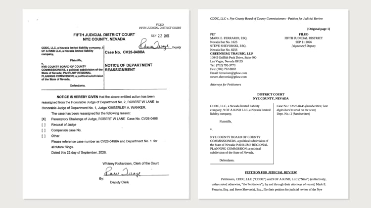
A post about Ash Meadows is going around Amargosa Valley and Pahrump. It is being shared as fact.
If you have never been out there, go.
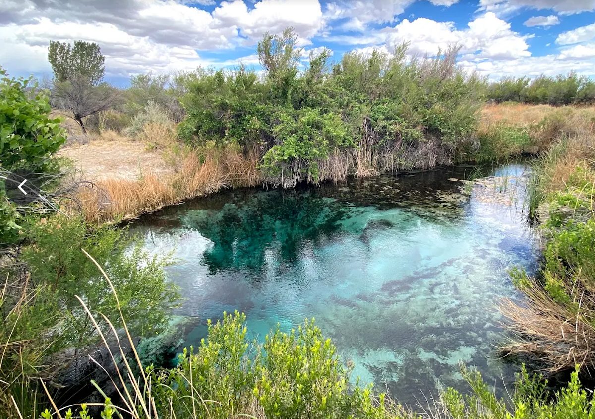
A half hour up the road from Pahrump, out Bell Vista Road where the sign says Ash Meadows, there is spring water sitting in the open desert, and a blue you will not believe until you are standing over it. There are fish swimming in it that live in that water and in no other water in the world.
By the government's own count, more kinds of living things exist only at Ash Meadows than anywhere else in the United States. Not the most in Nevada. The most in the country, sitting in the last place anybody would look for it.
And it has nearly been lost twice. Once to a city of 25,000 houses. Once to a lithium mine. Both times the approval was already signed. Both times it was stopped late, and not by luck.
Twice, somebody had already signed the approval to build over Ash Meadows. Twice, it was stopped late.
So we will say where we stand, because it is not the same as taking a side. We love Ash Meadows. What should be done about it is a real argument and it is yours to settle. Whether it is worth arguing over is not.
Before we start, one thing. Every green link on this page goes to the document itself. The county minutes. The Supreme Court ruling. Nevada's own 1979 law. The order that runs out in January. Some of it is the strangest history in this state, and all of it is free to read. Click them. You should not have to take our word for any of this.
Parts of the post are right. Most of it is not. Here is each claim, next to the document that answers it.
They already voted 5 to 0 to approve this
The post never says who "they" is, or what they approved. Both are in the county's own file.
"They" is your county commission. Ron Boskovich, John Koenig, Bruce Jabbour, Debra Strickland and Ian Bayne. You elected all five. Nobody from Washington or Carson City voted on anything.
What they approved was a letter. Not a conservation area, because there is no conservation area yet to approve. No bill in Congress, no boundary, no text. The motion in the minutes was to issue a letter of support for "the Development of a locally informed proposal." Jabbour moved it, Strickland and Koenig seconded, it carried 5-0.
What the letter asks for is in the file, even if the letter is not. Four other bodies had already written in, and the agenda packet prints their letters: the Amargosa Valley Town Board, the Beatty Town Advisory Board, the Chemehuevi Tribe and the Timbisha Shoshone Tribal Council. They are addressed to Interior Secretary Doug Burgum, Senators Catherine Cortez Masto and Jacky Rosen, and Congressman Steven Horsford; the Chemehuevi wrote to all four separately. They ask Washington to finish the mineral withdrawal now, and to make protection permanent later through an act of Congress.
Nye County's own signed letter is not in that public file. We have asked the county for a copy under the Nevada Public Records Act. You can request a record yourself.
And your neighbors asked first. The Amargosa Valley Town Board, five members elected by Amargosa residents, passed Resolution 2026-1 on March 26. The Beatty Town Advisory Board wrote in by unanimous vote. So did the Chemehuevi Tribe and the Timbisha Shoshone, whose letter puts it plainly: "Our communities are not safe until durable protections are in place."
Jabbour said why, on the record: the people in Beatty, Amargosa and Crystal, and the Timbisha Shoshone, who drink that water.
The National Conservancy is taking our land
There is no such organization.
There are three different things. A National Conservation Area is a federal designation Congress would have to create, then hand to an agency to manage. The Amargosa Conservancy is a local nonprofit that argues for one. The Nature Conservancy is a separate national group.
A nonprofit that argues for a designation owns nothing afterward. The one land deal in this story went the other way: in 1984 The Nature Conservancy bought land here and handed it to the government.
This is Nevada's land, and Nye County should be running it
This is the belief under most of the rest, and it has a short answer.
The land was never Nevada's. It has belonged to the United States since the Treaty of Guadalupe Hidalgo in 1848, sixteen years before Nevada existed. The Supreme Court said so plainly in the Devils Hole case: this is land "owned by the United States since the Treaty of Guadalupe Hidalgo in 1848."
In 1864, to become a state, Nevada agreed in its own constitution to "forever disclaim all right and title to the unappropriated public lands lying within said territory," and that those lands "shall be and remain at the sole and entire disposition of the United States." Congress required that language. You can read it in the 1864 act admitting Nevada, where Congress wrote the same words before Nevada ever voted on them. Statehood was the trade.
Nevada did try to take it back. In 1979 the Legislature passed the Sagebrush Rebellion Act, Assembly Bill 413, and moved to hold the public land as state land.
Read its findings. The argument in the post is in there, written into Nevada law: that Washington holds 86.7 percent of this state, and that in Nye County and four others the federal government controls 97 to 99 percent of the ground.
Nevada's own Legislature repealed the whole act in 2021, in Assembly Bill 378, section 14. There is no state claim left to point at.
Nye County has already tested this, and lost.
The idea has a name, the Sagebrush Rebellion, and for a while Nye County was the front of it. The argument is the one in the post: that the federal government has no business owning most of Nevada, and that the county should be running it.
In 1994 county commissioner Dick Carver drove a 22-ton bulldozer at an armed Forest Service officer to reopen a road on federal land, while a crowd of about 200 cheered. Time magazine put it on the page under the headline "Unrest in the West: Nevada's Nye County." The United States sued the county in March 1995. In March 1996 a federal court in Las Vegas struck the county's resolution down and upheld federal ownership and management of the land. Nye County did not appeal.
As for Nye County running it: on this, Nye County did decide. Amargosa Valley asked for it. Beatty asked for it. Two tribal councils asked for it. Then the five commissioners you elected voted for the letter, 5 to 0.
If what you want is local people deciding the future of this land, that already happened. This is what they decided.
They are taking 300,000 acres
Nothing is being taken, and nothing closes. It helps to read what the order actually does, because it is short.
The notice withdraws federal land from two things and two things only: staking new mining claims, and new mineral or geothermal leases.
That is the entire list. So here is the other half, the half that keeps getting left out.
What does not change. Your private property is not involved; this applies to federal land. Grazing is not affected, and the notice never uses the words grazing, livestock, range or allotment. Hunting, hiking, camping and driving out there are not mentioned either, because the order does not touch them. Mining claims somebody already holds survive, because it is "subject to valid existing rights." Sand and gravel stay available: the notice says the land "will remain open to disposal under the mineral materials laws."
The notice is two pages, and we keep our own copy so it cannot disappear: the notice text on its own, and the printed page as filed. Search that text for the word grazing and you get nothing back. One warning about the PDF: it is the whole printed page, and an unrelated notice about solar projects in Utah sits in the next column. That one does talk about grazing. It is not this one.
You can still do out there tomorrow everything you can do today.
What does change. Nobody new can stake a claim over the water for 20 years, if it is finalized.
That is the fight. Not access. Claims.
And it is worth saying the obvious: an order that only blocks new mining is not how you steal water. Pumping is how you take water, and this order is the thing standing in the way of more of it.
Leave it alone, it is fine as it is
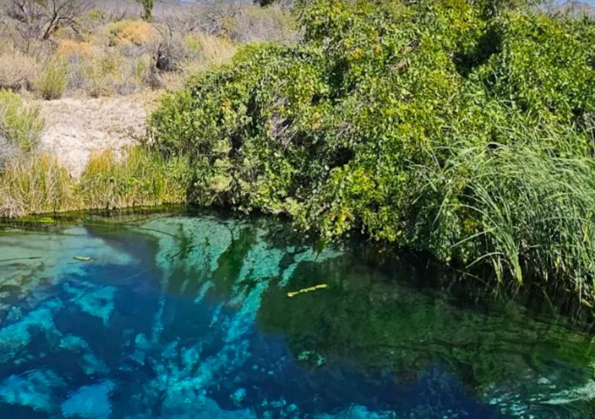
The land around the refuge is open BLM ground. That is the least protected land there is. Anybody can stake a mining claim on it, which is exactly what the order in question would stop.
In July 2025, BLM approved 43 exploratory drill holes about two miles from the refuge, inside the Amargosa North Area of Critical Environmental Concern, on the California side.
The lithium company that started this fight did walk away. It renamed itself Stockworks Gold in August 2025, trades as STW, and now advertises a gold project in Brazil. Its Nevada lithium project is not mentioned on its website at all. A Belgian firm may expand a clay mine nearby.
Bring the cattle back
They were here. That is exactly why this is a refuge now.
Ash Meadows holds plants and animals that live in these springs and nowhere else on Earth. Not rare. Nowhere else.
Here is what happened when it was a ranch, from the Fish and Wildlife Service.
First the peat was stripped out of Carson Slough, which "eventually destroyed about 2,000 acres of vital wetland."
Then Spring Meadows Inc. brought in roughly 1,800 head of cattle. To run them, the company "bulldozed sand dunes, replaced winding streams with concrete ditches, and diverted spring flow to create giant reservoirs." The Fish and Wildlife Service's verdict on that work is one word: all of it "effectively eliminated" many of the plants and animals that live only here.
Eliminated is not a word about cattle. It is a word about what was living there first.
Here is the scale of what that means in this valley. Devils Hole is a flooded cavern in the rock, a 40-acre piece of Death Valley National Park sitting miles from the rest of it. The Park Service calls it "a window into this vast aquifer." A pupfish lives down in that water, and in no other water on Earth. The Fish and Wildlife Service puts it this way: no animal with a backbone, anywhere on the planet, lives in a smaller space. Its all-time low count was 35 fish. Not 35 in the refuge. Thirty-five alive on Earth.
And the cattle needed water. The same operation, by then renamed Cappaert Enterprises, "pumped increasingly more groundwater to maintain their ranch." Devils Hole dropped until the pupfish could no longer spawn on the rock shelf. It took the United States Supreme Court to stop it, in 1976.
Then the water rights and the land went to Preferred Equities Corporation, a Las Vegas development company. Its plan was not a ranch. It was a city, dropped into Amargosa Valley on the ground the refuge sits on now: a 25,000-lot subdivision on 12,653 acres, with hotels, shops and an airport.
Twenty-five thousand lots. There are about 25,289 housing units in all of Nye County today, Pahrump and Tonopah and Beatty and everywhere else combined. One developer had approved plans to build the equivalent of the entire county, on top of the springs.
The Nature Conservancy said at the time that once it was built and full of people, it would "virtually assure the extinction" of the fish, the plants and the small creatures around here that were already barely hanging on.
The refuge was created in 1984 out of what was left. Two years later Ash Meadows became the fourth wetland in the United States named to the international Ramsar list.
Bringing the cattle back does not restore Ash Meadows. It restores what the refuge was built to stop.
What the post gets right
The boundary does follow the water rather than survey lines. That is the point of it. Resolution 2026-1 says the water under those lands is the same water that supplies Amargosa Valley and the refuge.
And the worry is not imaginary. Mining, solar and data center pressure here is real and documented.
The part nobody is arguing about
The order expires January 15, 2027. Extending it is Interior's decision and it has not been made.
Until Congress writes a bill, nobody can tell you what a conservation area here would allow. Grazing, roads and access all get decided in that text. Resolution 2026-1 commits only to "continued public access."
Sources
- Nye County Commission, May 5, 2026 minutes and Item 21 packet, containing Resolution 2026-1 and the letters from all four bodies
- Federal Register, proposed withdrawal, Amargosa Valley, document 2025-00700, published January 15, 2025. Our copies, so the link cannot rot: the notice text (SHA-256
1738c2b02121c96d7e827e9fba4047ba980b78a3eb77a9d8889d055cfa4261c5) and the printed page (PDF, SHA-2566bc20914940072e9648e6296f5efe615b51d6308f7584d5ecdb41440ea3616fe) - U.S. Fish and Wildlife Service, Ash Meadows National Wildlife Refuge and the Devils Hole pupfish count
- National Park Service, Devils Hole, Death Valley National Park
- Cappaert v. United States, 426 U.S. 128 (1976)
- Nevada Constitution, Ordinance and the 1864 act admitting Nevada
- 1979 Statutes of Nevada, ch. 633, AB 413, the Sagebrush Rebellion Act, and 2021 Statutes of Nevada, ch. 133, AB 378, sec. 14, which repealed it
- Time, "Unrest in the West: Nevada's Nye County", and the U.S. Department of Justice on United States v. Nye County, March 1996
- BLM, St. Cloud exploration approved, July 11, 2025